Summary
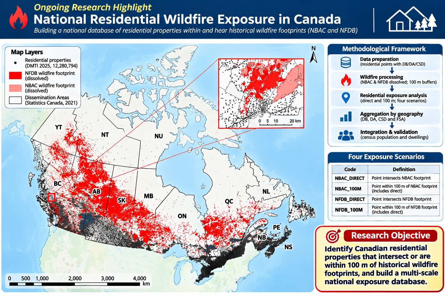
Wildfire activity across Canada has intensified over recent decades, yet its impacts are not evenly distributed. This study presents an inaugural national-scale environmental equity assessment of disproportionate wildfire risk exposure, applying a Gender-Based Analysis Plus (GBA Plus) and environmental justice lens. Using Canadian National Fire Database (CNFDB) large fire polygon data (fire perimeters >200 hectares) spanning 1972–2024, provided by federal, provincial, and territorial agencies and Parks Canada, we conduct a spatial exposure assessment by integrating wildfire perimeters with residential housing stock data (DMTI CanMap Content Suite 2025) and 2021 Census socioeconomic indicators.
At the census dissemination area level, hotspot analysis (Getis-Ord Gi*) identifies persistent wildfire-prone regions, while spatial regression models, including Multiscale Geographically Weighted Regression (MGWR), examine associations between wildfire exposure and vulnerability indicators such as income, Indigenous identity, racialization, age, disability, and housing conditions. Results show significant spatial clustering of Indigenous populations and low-income residents in areas with elevated wildfire exposure, indicating disproportionate risk burdens and clear patterns of distributive environmental injustice across Canada.
By linking exposure assessment with equity analysis, the study identifies critical gaps in current regulatory and policy frameworks that insufficiently account for intersectional vulnerabilities. The findings underscore the need for equity-informed and Indigenous-led wildfire risk governance, including Indigenous fire stewardship, targeted emergency planning, land-use regulation, and resource allocation.
This work advances wildfire risk analysis by providing a nationally consistent, methodologically integrated framework for assessing natural hazard exposure and social inequities, offering actionable evidence for more just and inclusive wildfire risk management in Canada.


